Day 6 - Water? What water?
It's amazing how fast you can break camp and get hiking when it's 38 degrees out.
Due to the total lack of water between Watson Lake and Gray Lake (maybe 18 miles?), most people have a water cache at Brockway summit. Since our original plan was to spend the night somewhere near Martis Peak Road, we instead decided to cache water near there, which is 4 miles past Brockway, so we wouldn't have the extra weight to carry uphill. Passing Brockway, there must have been 5 to 10 gallons, labelled for different groups of hikers, sitting by the side of the trailhead. Even though we were getting a bit low, it's total bad karma to touch anyone else's cache, so we trudged onward and upward.
As our water got lower and lower, we just kept thinking about the 4 gallons that Ron had cached there two weeks ago. As we rounded the corner, we could tell by the look on Ron's face that something was wrong, very wrong. Yes, the no-good-dirty-rotten-damn-rodent-varmint-bastard squirrels has chewed through the bottom of all four plastic jugs. Oh well, time to improvise the plan once again, and we hiked the extra 6 miles to get to the next water source.
The lesson, Never, Ever, count on a water source. Keep a bit in reserve, just in case. (ok you *&^$@ squirrels, I learned the lesson, so don't even THINK of ever messing with my water again!)
Somehow missed the turn to Grey Lake, so we camped at the appropriately named Mud Lake. The water clogged Ron's filter, and still came out discolored using mine. Time to boil!
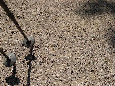
Almost forget, we followed a set of bear tracks for about two miles, right on the trail today. Nobody elses footprints ever covered his tracks, so he must not have been too far in front of us.
 |
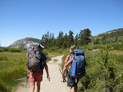
| Typical trail scenery near Brockway Summit. |
 |
| At the Brockway Summit trailhead |
 |
| Fields of Mule's Ears. Some had the yellow flowers still. |
 |
| What a great sign! |
 |
| Bear tracks. We followed these for quite a while! |
 |
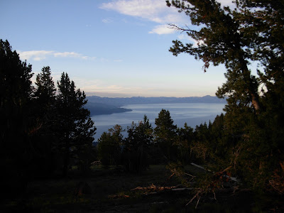
| Incline Village and Sand Harbor, from Mt Baldy. |
 |
| One of my favorite shots of the trip. Near Rose Knob Peak. |
 |
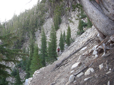
| Gaining elevation on Rose Knob Peak. |
 |
| Mud Lake campsite, before the bear came through. |
 |
| Mud Lake. |


